-
 ×
- Accueil
- Impressions d'art ▸
- Peintres ▸
- Catégories ▸
- Style d'art ▸
- Cadre photo ▸
- Presse écrite ▸
- Tous les supports d'impression
- Toile Leonardo (satin)
- Toile Salvador (mate)
- Toile Raphael (mate)
- FineArt Photo matte
- FineArt Photo satiné
- FineArt Photo baryté
- FineArt Photo brillant
- Aquarelle Carton Munch
- Aquarelle Carton Renoir
- Aquarelle Carton Turner
- Aquarelle Carton Dürer
- Natural Line Hemp
- Natural Line Rice
- Kozo White, 110g
- Kozo Natural, 110g
- Inbe White, 125g
- Unryu, 55g
- Bamboo, 110g
- Premio Unryu, 165g
- Murakumo Natural, 42g
- Bizan Natural, 300g
- Bizan White, 300g
- Composite en aluminium 3mm
- Verre acrylique 5mm
- Commander un jeu d'échantillons
- Quel support d’impression convient ?
Toile
Papier photo
Carton aquarelle
Natural Line
Papier japonais
Médias spéciaux
Informations supplémentaires
- Aide et service ▸
- Contactez-nous
- Vendez votre art
- Questions fréquentes
- Postes à pourvoir
- Réclamation
- Commander des échantillons
- Commander des bons
- Frais de livraison
- Temps de production
- Durabilité
- Recherche d'image
- Demandes spéciales
- Qui sommes-nous ?
- Politique tarifaire
- Politique d’entreprise
- Engagement qualité
- Distinctions
- Châssis entoilé
- Passe-partout
- Cadres décoratifs
- Vitrage
- Filets
- Systèmes de fixation
- Supports d'impression
- Conseils d’entretien
- Mention légales
- AGB
- Confidentialité
- Droit de rétractation
Infos et services
Informations supplémentaires
Bon à savoir
Information légale
- Boutique ▸
- Contact




 Voir en 3D / AR
 Ajouter aux Favoris
 Sélectionnez la couleur des murs
 Vue de la peinture dans une pièce
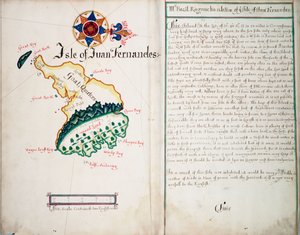

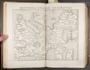
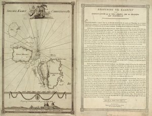
.jpg "Feuilles 3v et 4r, de Divers Voyages Touchant la Découverte de l")
.jpg "Carte de la côte de la Nouvelle-Zélande, illustration de A journal of a voyage to the South Seas : in His Majestys ship, the Endeavour, 1794")
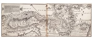
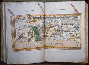
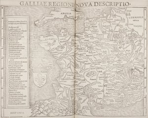
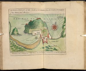
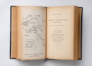
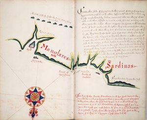
.jpg "Tabula Prima Europa, de")
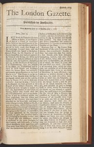
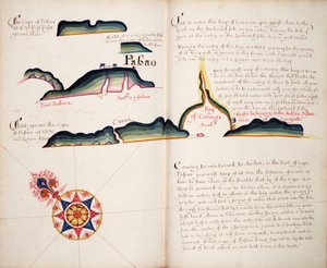
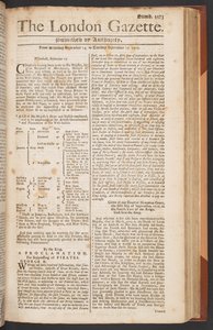


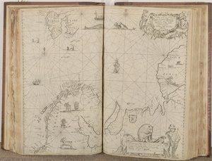
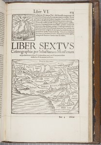
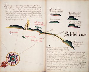
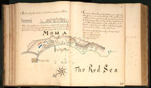
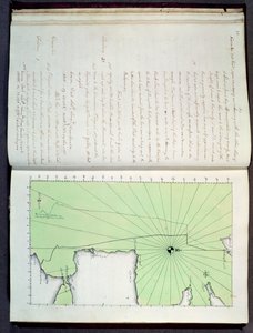
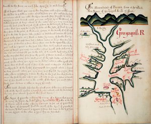
.jpg "Recueil des Ouvrages en Serrurerie...sur la place Royale de Nancy")
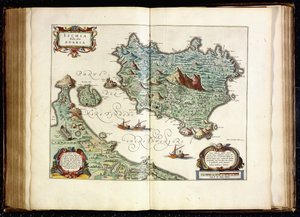
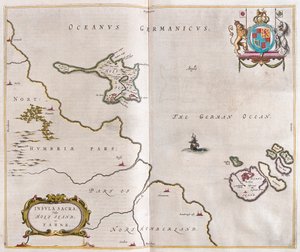
.jpg "Broome, la Demeure de Sir Basil Dixwell, de")
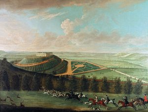
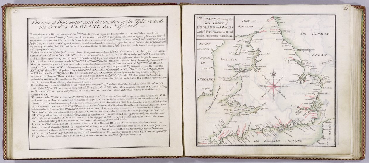
 - (MeisterDrucke-41908).jpg "Carte montrant la côte maritime de l’Angleterre et du pays de Galles, planche tirée de « A Compleat Sett of Mapps of England and Wales in General... », 1724")
.jpg "Tunbridge Wells, de")
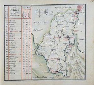
.jpg "Page de titre de A Compleat Sett of Mapps of England and Wales in General..., 1724")
 engraved by Johannes Kip (c1652-1722) published c1750 (en - (MeisterDrucke-133065).jpg "Tunbridge Wells, de")
.jpg "Couverture de A Compleat Sett of Mapps of England and Wales in General..., 1724")
.jpg "La perspective ouest de Knole, de")
.jpg "Carte officielle de Wyld du canal maritime de Suez, 1869")
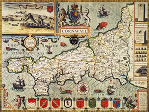
.jpg "Carte de l")
 - (MeisterDrucke-209680).jpg "Carte de la Floride, vers 1584")
.jpg "Carte à glyphes de la migration aztèque d")
.jpg "Carte du monde connu, tirée de la « Geographia »")
 - (MeisterDrucke-94842).jpg "Ms. 988 T. III fol. 42 Carte des environs de la ville et du château d")
.jpg "Carte de Saint-Pétersbourg")
.jpg "Carte du quartier Sainte-Geneviève, Paris, 1756")
 (for detail see 84597) - (MeisterDrucke-170581).jpg "Carte du Pacifique, de la Chine et de l")
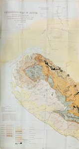
.jpg "Carte de Rotterdam et Gouda, tirée de «Civitates Orbis Terrarum» de Georg Braun (1541-1622) et Frans Hogenberg (1535-90), vers 1572-1617")
.jpg "Carte de Berlin et Cölln, 1688")
 - (MeisterDrucke-195383).jpg "Plan des commissaires, carte de la ville de New York, par les commissaires nommés par une loi adoptée le 3 avril 1807, gravée par P. Maverick, 1811")
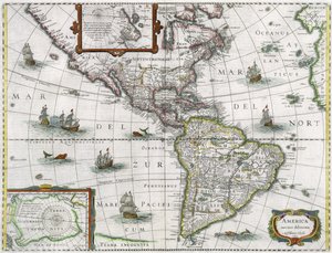
.jpg "Un lecteur de Gotthelf")
.jpg "Saint Thomas d")
.jpg "L’Arbre rouge")
.jpg "Marie Krøyer assise dans la chaise longue au jardin près de la maison de Mme Bendsen")
.jpg "Daniel dans la fosse aux lions, mezzotinte de J. B. Pratt, avec coloriage à la main, publiée par Thomas Agnew and Sons, 1892")
.jpg "Énée et la Sibylle de Cumes")
.jpg "Madone à l")
.jpg "Miséricorde divine")
.jpg "Laissez venir à moi les petits enfants")
.jpg "Cheval bleu I")

 +43 4257 29415
 support@meisterdrucke.com
 Mo-Do: 7:00 - 16:00 | Fr: 7:00 - 13:00